

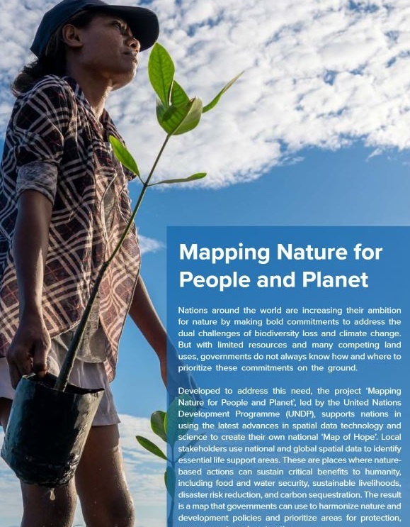
Mapping Nature for People and Planet
A dynamic partnership using spatial data to map essential life support areas for nature, climate, and sustainable development in countries around the world.
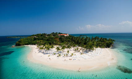
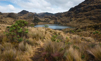
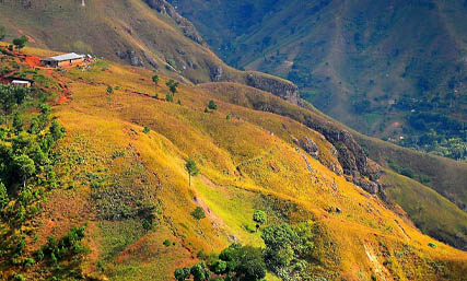
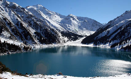
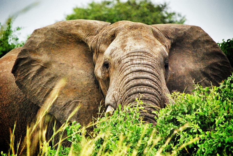
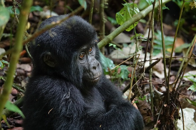
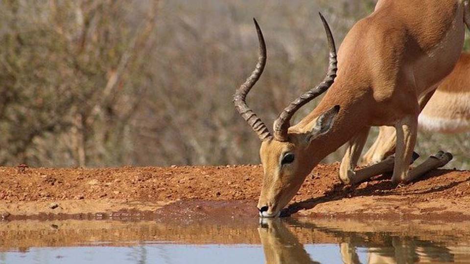
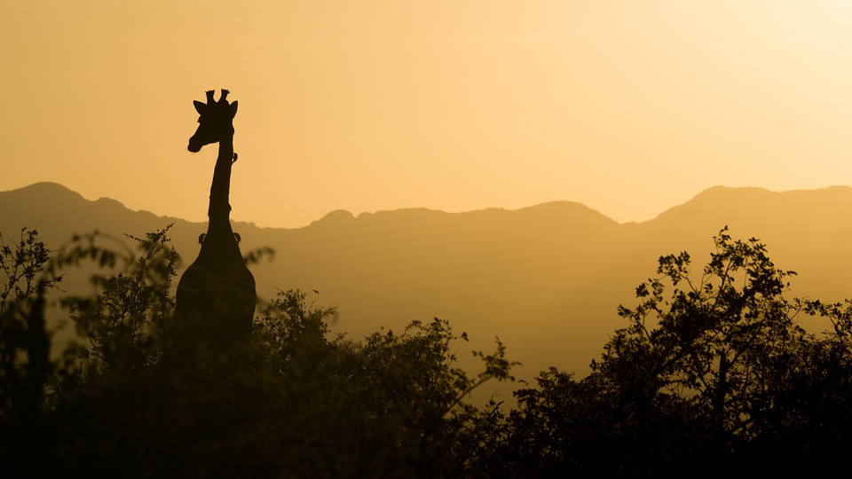
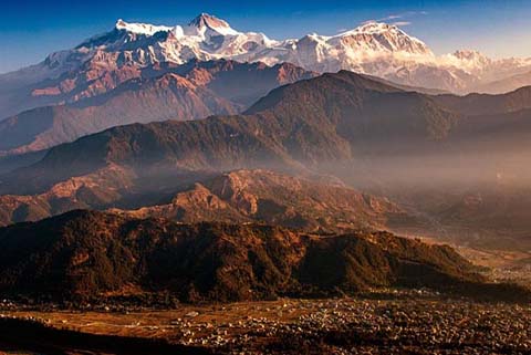
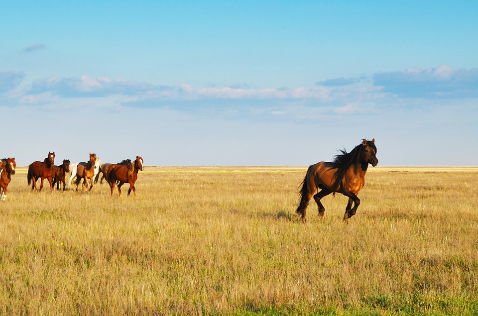
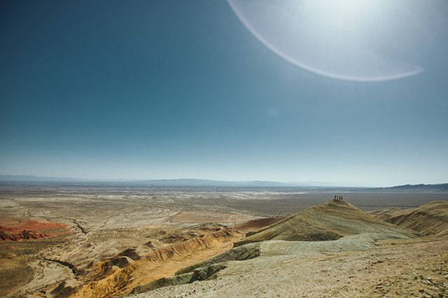
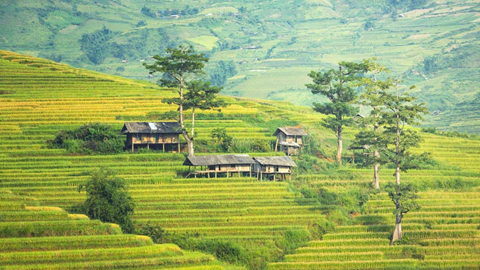
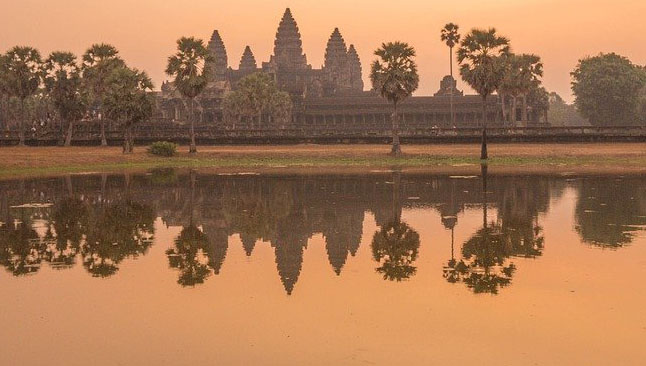
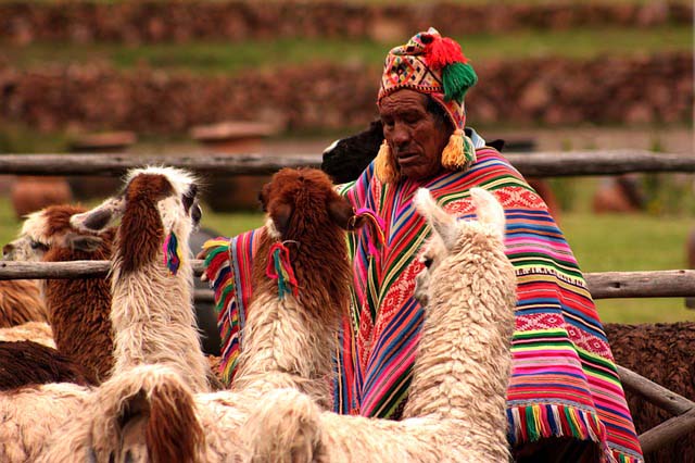
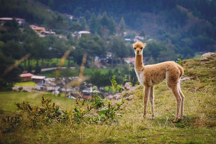
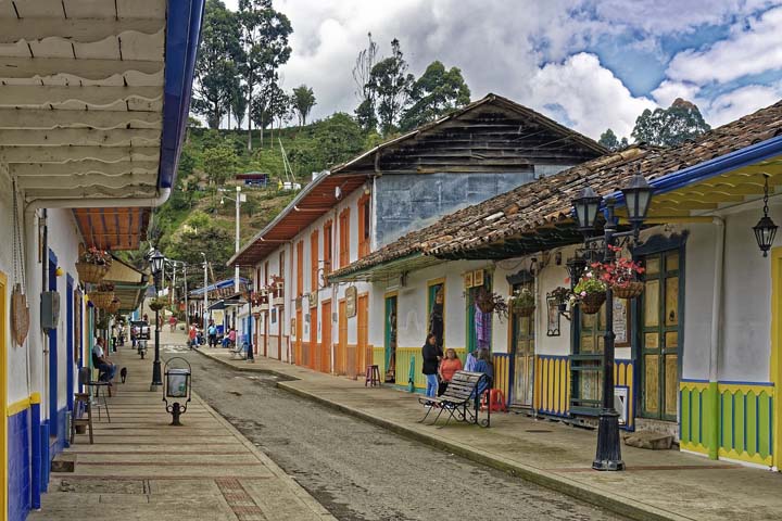
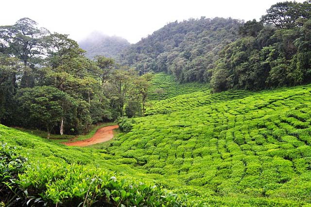
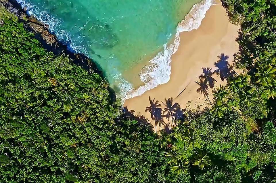
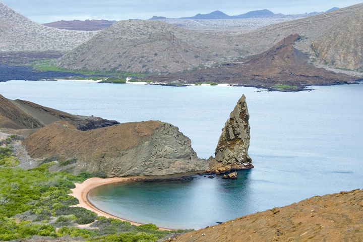
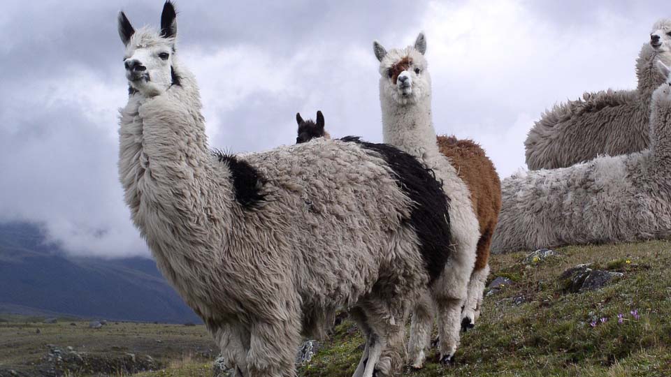
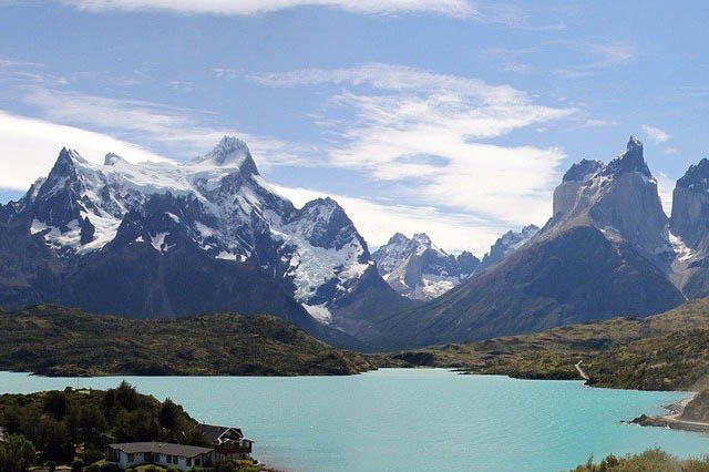
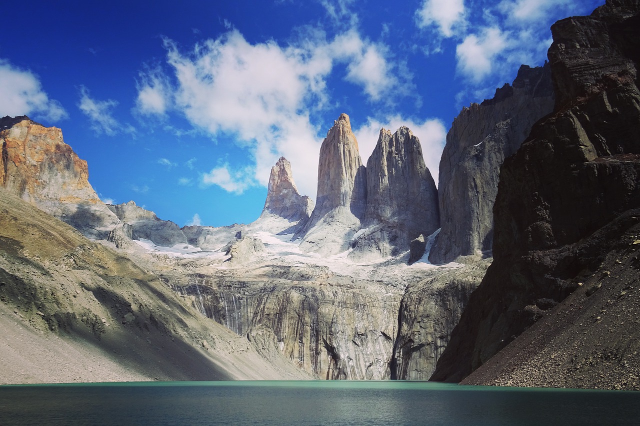
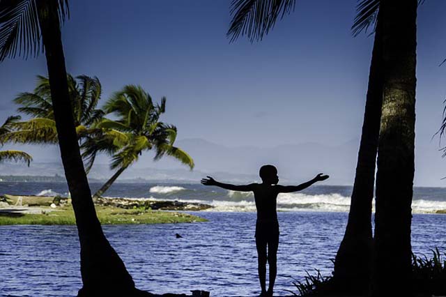
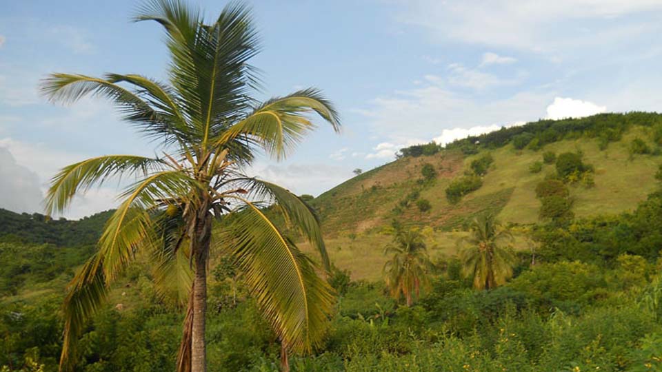
The UN Biodiversity Lab provides a platform where users can access the world’s best global and national spatial datasets. But how can decision-makers use these data to take action based on their specific national priorities? UNDP and partners are combining forces with select countries around the world to use these data to produce ‘maps of hope’ that identify where nature-based actions can safeguard essential life support areas to maintain key biodiversity and ecosystem services. The project uses cutting-edge science to spatial data to place nature at the center of sustainable development. Initially piloted in Costa Rica, Colombia, Kazakhstan, Peru, and Uganda, the project has now expanded to include Cambodia, Chile, the Dominican Republic, Ecuador, Haiti, Nepal and South Africa.
Country reports


Country videos
Learn how the project is being used to support national priorities in our pilot countries in these vibrant 2-5 minute videos.
Stakeholder Engagement
Learn more about the Mapping Nature for People and Planet project in each of our pilot countries. These dynamic pages highlight international and national presentations and discussions to shape the development of the ELSA analysis based on national context.


About the ELSA team
Learn more about the team behind our work to map Essential Life Support Areas.