Concilier les avantages économiques et la protection de l'environnement
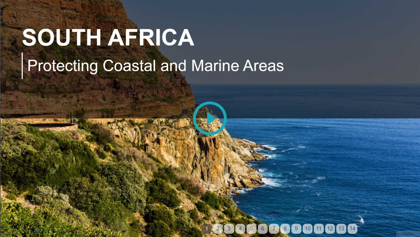
La biodiversité côtière et marine de l'Afrique du Sud pourrait contribuer à hauteur de 177 milliards de rands au produit intérieur brut (PIB) et créer un peu plus d'un million d'emplois d'ici 2033. Afin de préserver cette extraordinaire biodiversité, le gouvernement fédéral a pris des mesures en mettant en place des infrastructures de données spatiales ouvertes, qui constituent un point de départ pour le dialogue.

 Opération Phakisa
L'opération Phakisa a été lancée en 2014 par le gouvernement fédéral afin de protéger l'environnement marin contre les activités illégales et de favoriser les retombées socio-économiques. En 2016, 22 projets d'aires marines protégées ont été soumis à la consultation publique.
Les négociations ont réuni un large éventail de parties prenantes, notamment des entreprises des secteurs public et privé, afin de discuter des limites des zones protégées ainsi que des avantages et des contraintes de chacune d'entre elles. Ces négociations sont toujours en cours, et les limites ont été ajustées pour tenir compte des commentaires du public.
Système de gestion de l'information sur les océans et les côtes
Le Système national de gestion de l'information sur les océans et les côtes (OCIMS) est une plateforme accessible au public destinée à favoriser la sensibilisation et à soutenir l'aménagement du territoire. Créée grâce à un financement initial du ministère de l'Environnement, elle est aujourd'hui utilisée à tous les niveaux de pouvoir ainsi que par le grand public. Elle héberge des données spatiales et non spatiales relatives aux océans et aux côtes ; il s'agit d'une plateforme en libre accès fonctionnant sur le cloud.

Carte narrative : Études de cas sur la négociation dans les domaines côtier et marin