Creación de una red de áreas marinas protegidas
Haití alberga una increíble variedad de biodiversidad marina, entre la que se incluyen bosques de manglares y arrecifes de coral. En 2013, se creó la primera red de áreas marinas protegidas de Haití en la región más meridional, el 'Grand Sud', situada en el sur del país. El Área Protegida de Port Salut/Aquin tiene una superficie de más de 1.500 kilómetros cuadrados e incluye zonas mixtas, tanto marinas como terrestres.
En 2017 se siguió trabajando para crear más áreas marinas protegidas, esta vez en la región de 'Grand Anse'. Esta área marina protegida alberga uno de los arrecifes de coral más conocidos de Haití.
El objetivo general de estas áreas protegidas es crear una red que sea representativa de todos los ecosistemas clave del sur de la península.

Protección de la biodiversidad terrestre
En 2015, el PNUMA prestó apoyo al Ministerio de Medio Ambiente en la elaboración del primer plan de gestión de las áreas protegidas de Haití: el Parque Nacional Natural de Macaya. El Parque Nacional de Macaya, que alberga el último reducto de bosque nuboso primario, cuenta con 220 especies de aves, 141 especies de orquídeas y 367 plantas con flores. En los últimos años se han avistado en la región seis especies de ranas que se creían extintas. Varias especies de flora y fauna presentes en el parque son endémicas, entre ellas 38 especies de orquídeas. El Parque Nacional de Macaya es también una importante cuenca hidrográfica que abastece de agua dulce a siete ríos principales de la península suroeste de Haití.
Se están llevando a cabo iniciativas para poner en práctica el Plan de Gestión del Parque Nacional de Macaya, entre las que se incluyen la creación de una Oficina de Gestión y un programa de guardas forestales. Otros objetivos son la reforestación de las zonas degradadas, la construcción de infraestructuras para reducir la erosión provocada por las inundaciones y el apoyo a la protección de la flora y la fauna del parque.


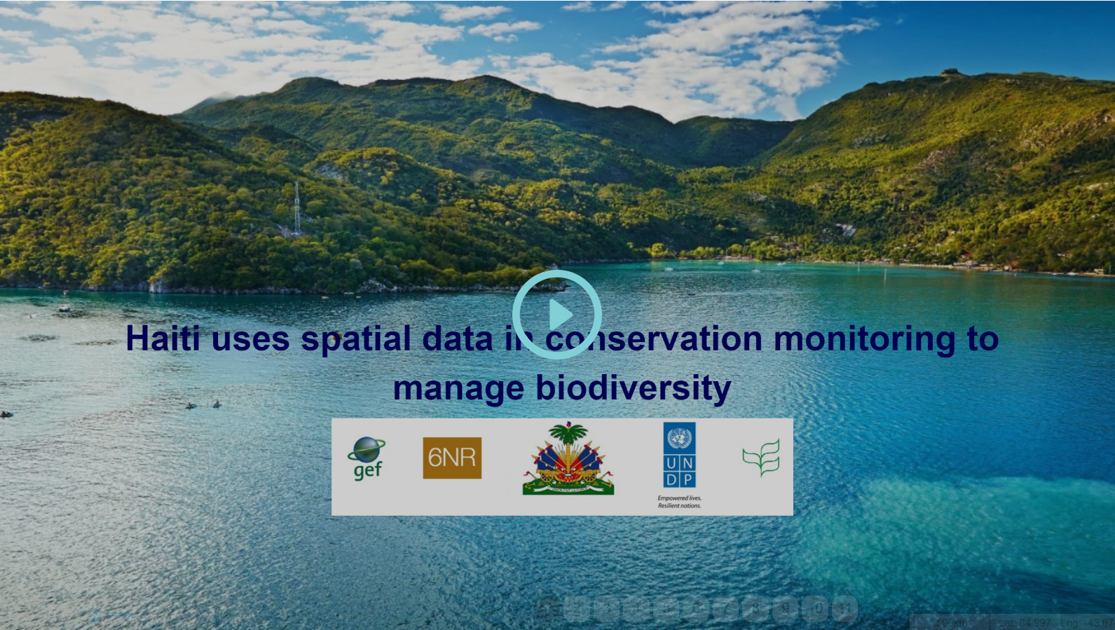
Mapa narrativo: uso de datos espaciales para la gestión de las áreas protegidas
En 2016, el PNUMA prestó apoyo a la Agencia Nacional de Áreas Protegidas en la elaboración de una metodología de titularidad gubernamental para la elaboración de planes de gestión de áreas protegidas. Para elaborar estos planes de gestión se utilizaron datos espaciales, combinando información obtenida desde el suelo y desde el aire. Se analizaron los tipos de cobertura del suelo mediante técnicas de alta precisión con el fin de determinar cuál sería la mejor forma de llevar a cabo la gestión de las áreas protegidas.
En la actualidad, el PNUMA en Haití colabora estrechamente con socios innovadores para acceder a datos espaciales de alta resolución y utilizarlos en las áreas protegidas. Reproduce el mapa narrativo que aparece a continuación para obtener más información.