
Мониторинг биоразнообразия в Эквадоре
Ecuador contains some of the richest biodiversity hotspots in the world, which include the Amazon Rainforest, the Andean highlands, coastal mangrove ecosystems, and its famous cloud forests. This small, coastal country is home to some of the world’s most iconic species - the Spectacled Bear, Jaguar, Sloth, Howler Monkey, Puma, and a staggering 20% of the world’s bird diversity.
Monitoring and combating poor land management practices is critical to protecting Ecuador’s ecosystems.

Protecting Biodiversity on Land
In 2012, a comprehensive biodiversity survey was commissioned by the Ecuadorean government that identified 91 types of ecosystems within Ecuador. To combat deforestation and ecosystem degradation, the government is building a National Forest Monitoring System to record biodiversity loss and deforestation.

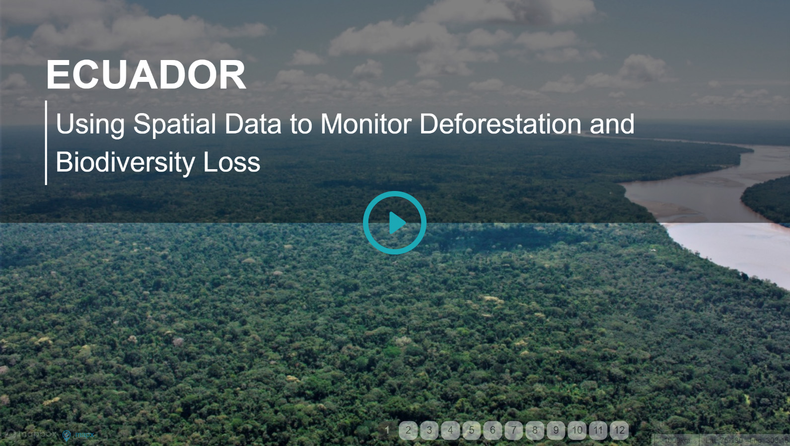
Story Map: Spatial Data for Biodiversity
Play the story map to see how Ecuador's Ministry of Environment implemented spatial monitoring to enhance biodiversity conservation and prevent illegal deforestation.
Correction: Data from Ecuador can be found at http://ide.ambiente.gob.ec/mapainteractivo/