Posts by UNBLadmin
Mapping nature to create a global biodiversity framework

English | Español | Français
Read MoreMapeo satelital reforzará toma de decisiones para políticas públicas vinculadas a agricultura, ambiente y urbanismo

Español
Read MoreMapping Nature for People and Planet: the Big Enchilada

A biodiversity crisis

English | Español | Français
Read MoreWhat can data do for climate change?

English | Français
Read MoreSEPAL

SEPAL is an opensource project by the Open Foris team in Forestry Department of the United Nations Food and Agriculture Organization (FAO), funded by the Government of Norway…
Read MoreTrends.Earth
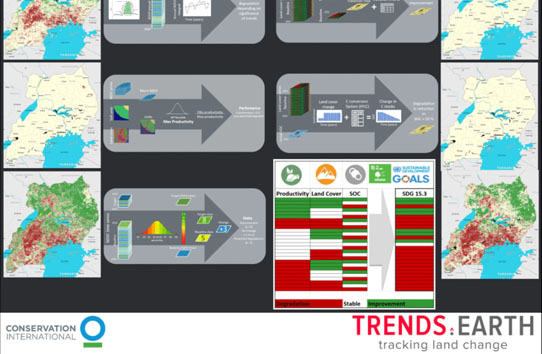
Trends.Earth is a free and open source tool to understand land change: the how and why behind changes on the ground. Trends.Earth allows users to draw on the best available information from across a range of sources – from globally available data to customized local maps…
Read MoreHaiti uses spatial data and aerial imagery to monitor protected areas
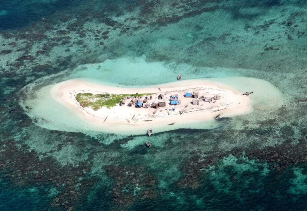
Haiti hosts an incredible array of marine biodiversity, including mangrove forests and coral reefs. In 2013, the first network of marine protected areas in Haiti was established in the southernmost ‘Grand Sud’ region of southern Haiti.
Read MoreSouth Africa protects coastal and marine resources
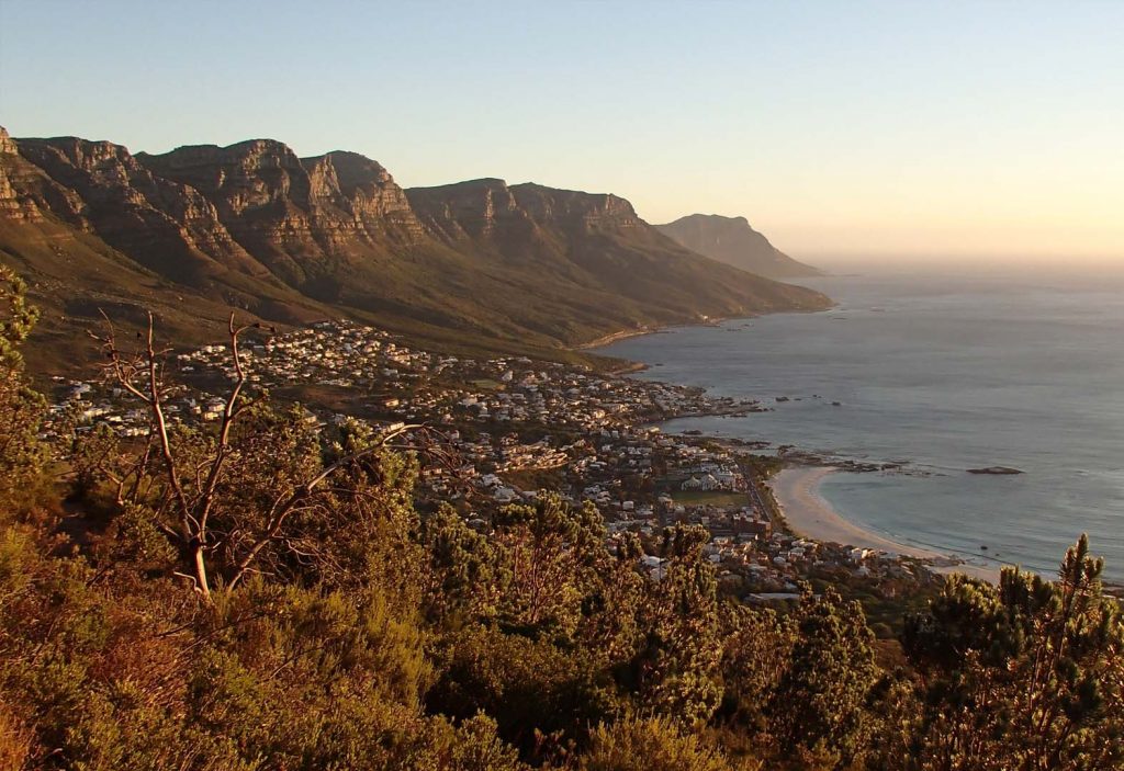
The coastal and marine diversity of South Africa has the potential to contribute up to 177 billion rand to the gross domestic product (GPD) and create just over one million jobs by 2033.
Read MoreMoldova increases protected areas in the Emerald Network
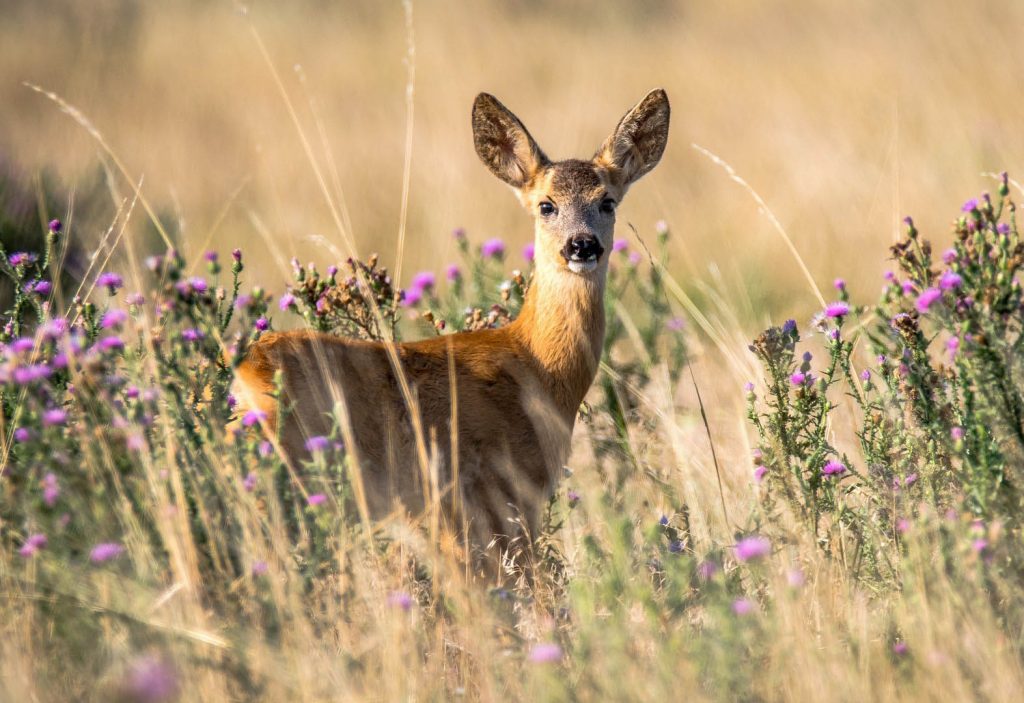
Relative to it’s size, Moldova has rich biota, with over 80 species of mammals including wild boar, wolves, badgers, wildcats, and roe deer. Approximately 15% of Moldova remains natural vegetation cover.
Read More