
What datasets does UNBL feature?
UNBL hosts data from over 150 data providers, including over 2,000 global and regional data layers grouped into 250+ datasets related to biodiversity, climate, and sustainable development. Each dataset on the platform is checked for quality against explicit criteria, with the goal of enabling cost-free access to high-quality global data that have the potential to fill national data gaps, based on country needs and preferences.
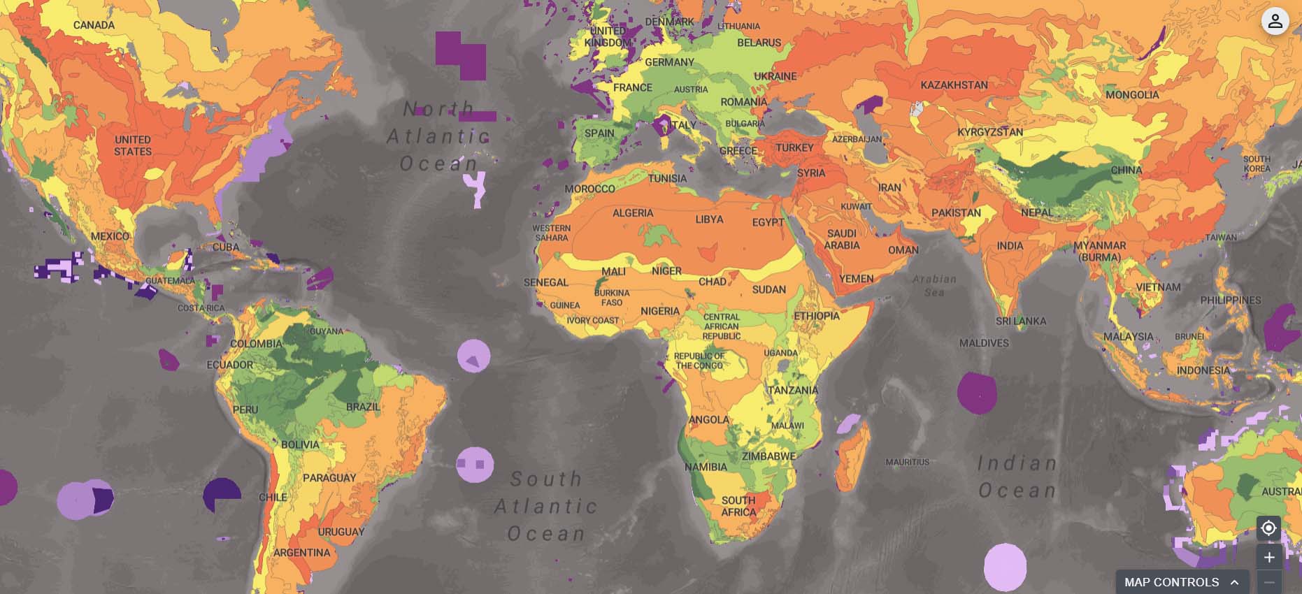
Global coverage datasets
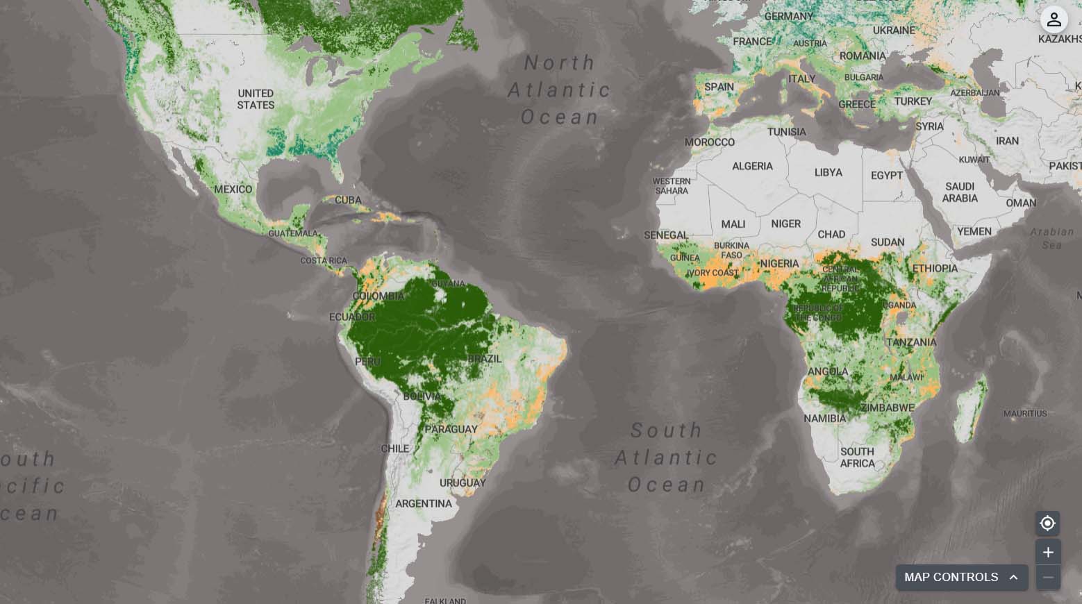
Regional coverage datasets
UNBL additionally provides secure workspaces, allowing specific groups of users to access a common repository that allows them to view national datasets in tandem with global and regional datasets on UNBL. In 2025, 162 national data layers were included across 256 secure workspaces on UNBL.
View the UNBL data list
Explore the UNBL STAC Collection
Do you want to conduct your own geospatial analyses using datasets on UNBL? Access our SpatioTemporal Asset Catalog (STAC) to download and use open-license datasets in your own GIS software.
Access STAC browserContribute data
Do you have data that would enrich the public platform of UNBL? Are you willing to be part of a scientific community committed to the open sharing of geospatial data? We want to hear from you.
Share your dataHow do we decide what data to publish on UNBL?
All datasets considered for inclusion on UNBL are reviewed by the UNBL data team against a standardized set of selection criteria that employ the Global Biodiversity Data Fitness Assessment methodology. The criteria cover nine thematic areas: policy or decision relevance, terms of use, accessibility, frequency of update, temporality, geographic coverage, transparency, scalability, and authoritativeness.
UNBL endeavors to facilitate the dissemination and utilization of regional coverage datasets for decision-making, monitoring, and reporting, such as those managed by subregional technical and scientific cooperation support centres (TSCCs). For this purpose, the UNBL data team reviews these data following an amended version of the Global Biodiversity Data Fitness Assessment, which includes:
- The policy relevance criterion achieves the highest score if the dataset is formally requested/recommended by a Party or CBD Subregional TSCC to the UNBL team as particularly relevant/important for regional, national, or sub-national decision-making and policy purposes.
- The geographic coverage criterion achieves the highest score if there is comprehensive coverage for the region of interest to which the dataset is constrained, as opposed to mandatory global coverage.
If you have data that you believe fits the outlined criteria, and could enrich the UNBL platform by addressing biodiversity, climate change, or sustainable development, please do not hesitate to fill out our data submission form.
Discover UNBL data collections
Explore popular data collections that unlock the power of data to generate insights to address critical issues for nature and sustainable development.
Ecosystem Restoration
Human activities on Earth have led to degradation of natural ecosystems: it is estimated that only 10 percent of the planet’s surface will remain free of direct anthropogenic impact by 2050. Restoring degraded ecosystems can result in cumulative biodiversity, climate, and livelihood benefits, making people and nature more resilient. This collection explores opportunities to restore ecosystems for the benefit of nature and people.
Data providers
The UNBL data providers offer an essential service by generating, updating, and sharing their data as a digital public good.


In addition to the logos shown above, we gratefully acknowledge the following data providers: Esri, Food and Agriculture Organization of the United Nations (FAO), Global Wind Atlas, NASA Oak Ridge National Laboratory (ORNL), Socioeconomic Data and Applications Center (SEDAC), United Nations Educational, Scientific and Cultural Organization (UNESCO), United Nations Economic Commission for Europe (UNECE), UN Global SDG Database, UN-Habitat, UN Water, United Nations Office for Disaster Risk Reduction (UNDRR), United Nations Statistics Division (UNSD), Commonwealth Scientific and Industrial Research Organisation (CSIRO) Australia, Zoological Society of London (ZSL), WWF International, University of Sydney, Global Wildlife Values Survey (GWVS), University of Exeter, Fundamental and Applied Biogeography Research Group (FABio), Global Footprint Network, Footprint Data Foundation, Utrecht University, 5 Gyres, The Ocean Cleanup, World Health Organization (WHO), and World Bank.