Creating a Network of Marine Protected Areas
Haiti hosts an incredible array of marine biodiversity, including mangrove forests and coral reefs. In 2013, the first network of marine protected areas in Haiti was established in the southernmost 'Grand Sud' region of southern Haiti. The Port Salut/Aquin Protected Area is over 1,500 kilometres square and includes mixed marine and terrestrial sites.
In 2017, work continued to establish more marine protected areas, this time in the 'Grand Anse' region. This marine protected area hosts one of the best known coral reefs in Haiti.
The overall goal of these protected areas is to create a network representative of all key ecosystems in the southern peninsula.
Protecting Biodiversity on Land
In 2015, UNEP supported the Ministry of Environment in the development of the first management plan for protected areas in Haiti: The Macaya Natural National Park. Featuring the last stand of primary cloud forest, the Macaya National Park hosts 220 species of birds, 141 species of orchids, and 367 flowering plants. Six species of frogs, believed to be extinct, have been seen the region in the past several years. Several plant and animal species that occur in the park are endemic, including 38 species of orchid. The Macaya National Park is also an important watershed, supplying fresh water to seven major rivers in Haiti's south-west peninsula.
Initiatives are underway to implement the Macaya National Park Management Plan, including the establishment of a Management Bureau and Park Rangers program. Other goals include re-foresting degraded areas, building infrastructure to reduce erosion due to flooding, and supporting the protection of the plant and animal life within the park.


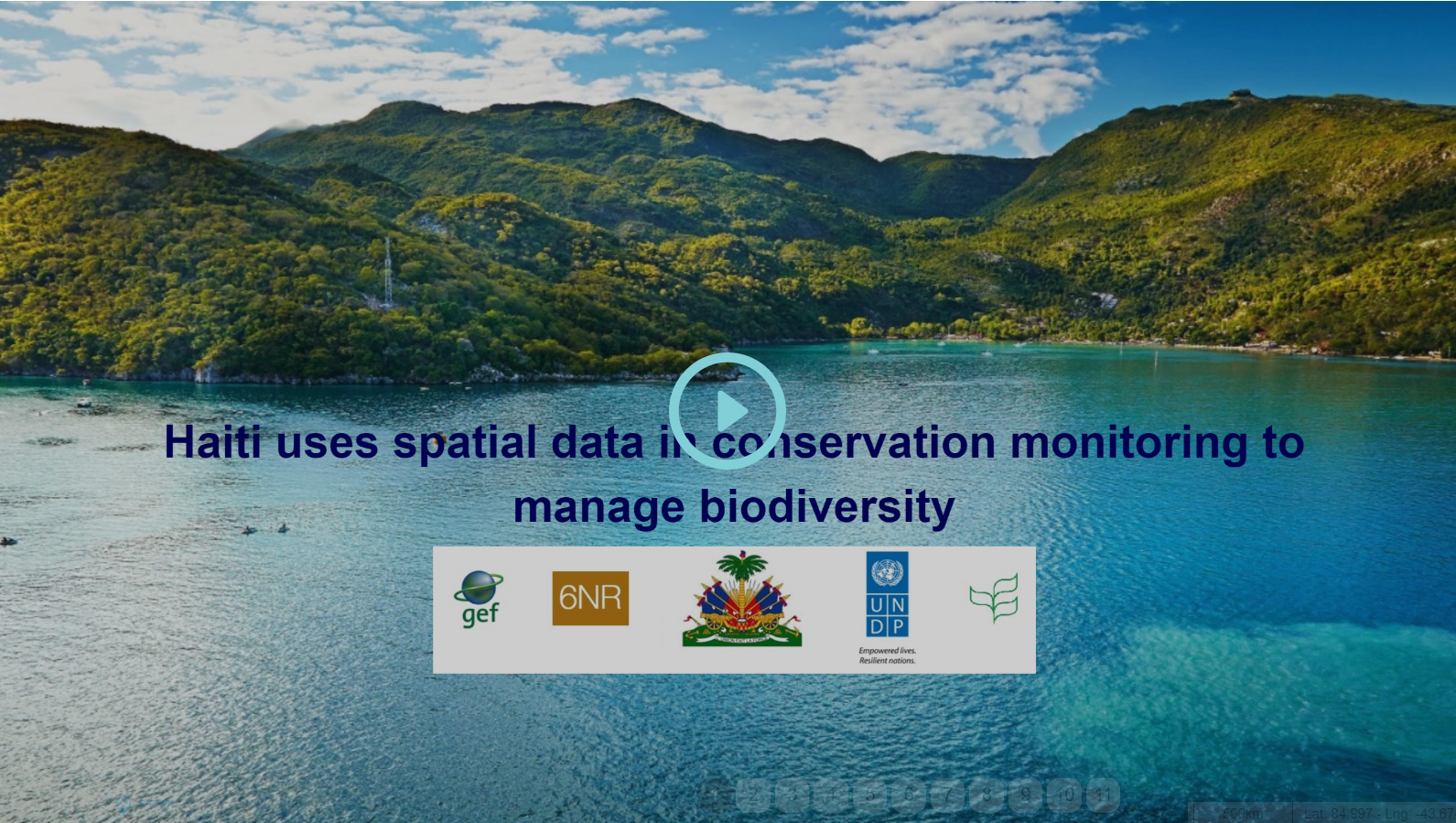
Story Map: Using Spatial Data to Inform Protected Areas
In 2016, UNEP supported the National Agency for Protected Areas in the development of a Government-owned methodology for the development of protected areas management plans. Spatial data was used to inform these management plans, by using a combination of ground and aerial data. Land cover types were analyzed using high precision techniques to determine how protected area management could be best deployed.
At present, UNEP in Haiti is working closely with innovative partners to access high resolution spatial data and utilize spatial data in protected areas. Play the story map below to learn more.


