Posts by UNBLadmin
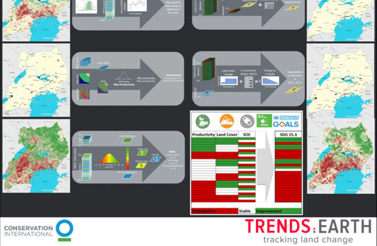
Trends.Earth
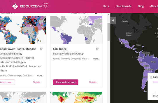
Resource Watch
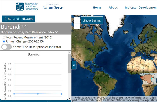
BIP Dashboard
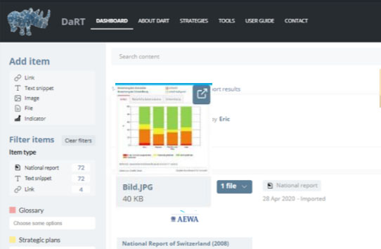
Data Reporting Tool for MEAs – DaRT
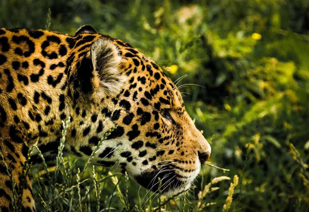
Monitoring Biodiversity in Ecuador
Ecuador contains some of the richest biodiversity hotspots in the world, which include the Amazon Rainforest, the Andean highlands, coastal mangrove ecosystems, and its famous cloud forests.
Read MoreMoldova increases protected areas in the Emerald Network
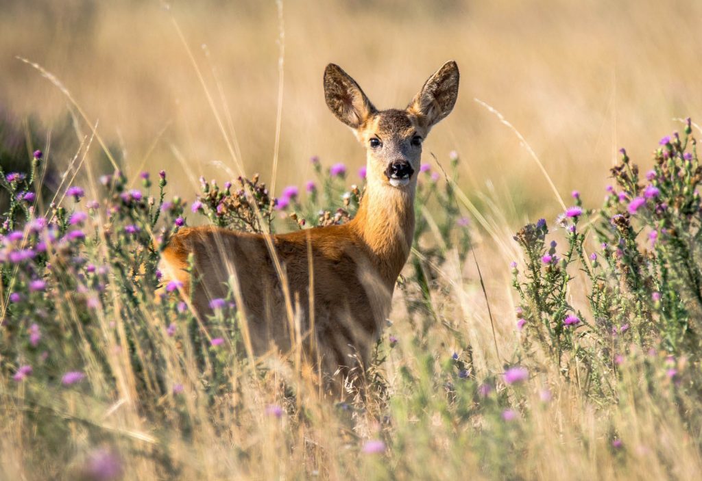
Relative to it’s size, Moldova has rich biota, with over 80 species of mammals including wild boar, wolves, badgers, wildcats, and roe deer. Approximately 15% of Moldova remains natural vegetation cover.
Read MoreSouth Africa protects coastal and marine resources
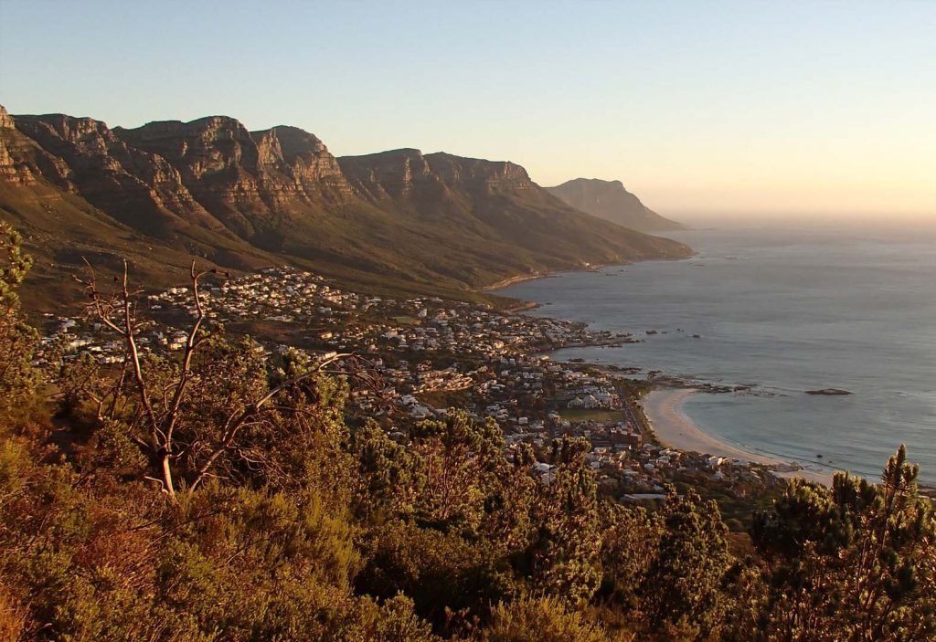
The coastal and marine diversity of South Africa has the potential to contribute up to 177 billion rand to the gross domestic product (GPD) and create just over one million jobs by 2033.
Read MoreHaiti uses spatial data and aerial imagery to monitor protected areas
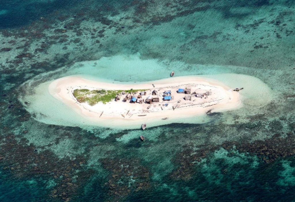
Haiti hosts an incredible array of marine biodiversity, including mangrove forests and coral reefs. In 2013, the first network of marine protected areas in Haiti was established in the southernmost ‘Grand Sud’ region of southern Haiti.
Read MoreThe promise and peril of a digital ecosystem for the planet
UN Biodiversity Lab launched to revolutionize biodiversity planning and reporting
English | Español | Français
Read More
